Topographical Survey
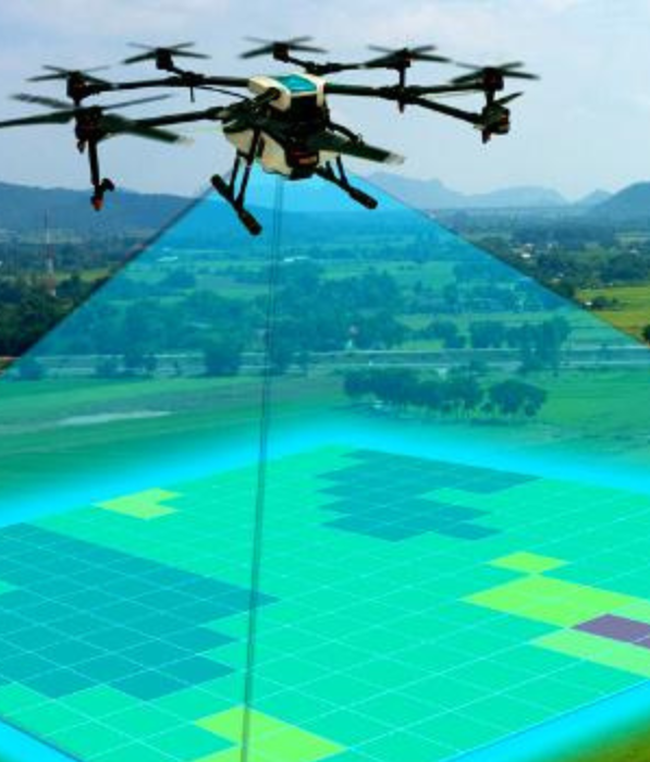
We offer comprehensive and efficient drone-based topographical survey services designed to meet the needs of industries such as construction, mining, urban planning, agriculture, etc. Our advanced drones, equipped with LiDAR and high-resolution cameras, capture data from a wide range of elevations and produce 3D models and maps.
Why You Should Choose Us:
High Accuracy: Using advanced sensors such as LiDAR and photogrammetry, our drones capture highly accurate terrain data, ensuring contour map and elevation models are precise.
Rapid Surveys: Drones can quickly cover large areas, dramatically reducing the time needed to collect data compared to traditional ground-based survey methods.
Lower Costs: Reduce labor and time costs over traditional land surveys. Create advanced 3D models and orthomosaic maps, providing in-depth insights into planning, design, and analysis.
Accessing Difficult Areas: Our drones can safely search areas that are difficult or dangerous to access, including steep terrain, mountains, and heavily forested areas.
Real-Time Data Processing: Access processed data quickly, enabling faster decision-making on projects such as construction planning, land development, and environmental monitoring.
Comprehensive Services: With our topographical services, you gain the advantage of speed, precision, and cost savings, making your land and terrain analysis projects more efficient and accurate.
© Copyright 2024 Designed By Digisnare Technologies.