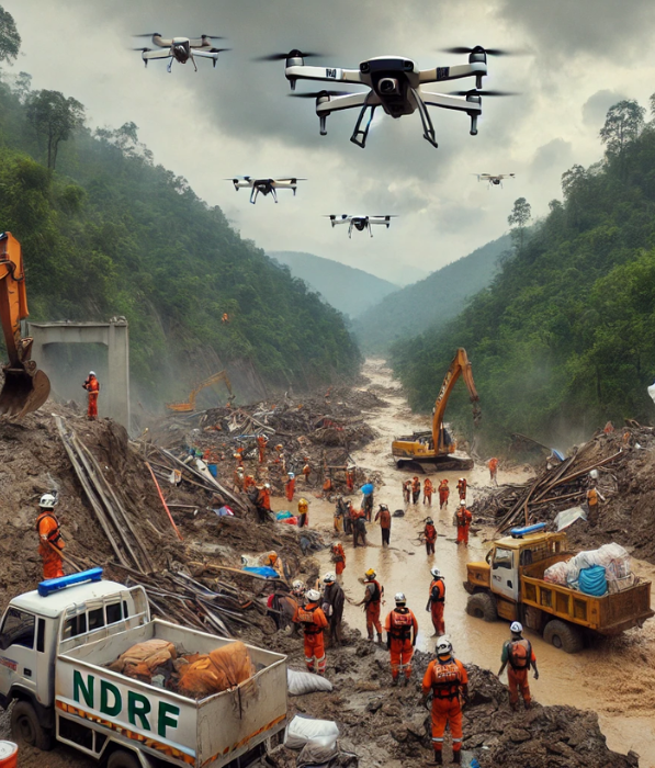
Disaster Management
We provide advanced drone-based disaster management solutions to support rapid response, investigation, and recovery efforts following natural and man-made disasters. Our drones deliver real-time aerial information and high-quality imagery for authorities, helping aid agencies make informed decisions in difficult times.
Why You Should Choose Us:
- Rapid Assessment: Drones can be used to rapidly assess damage in disaster areas, providing immediate identification of affected regions and enabling rapid emergency response.
- Search and Rescue Operations: Equipped with thermal and infrared sensors, our drones help locate survivors in difficult or unsafe environments where ground personnel may not be able to reach.
- Real-Time Data and Mapping: We use real-time video, images, and data to create detailed maps for disaster recovery planning, helping relief teams navigate devastated areas more efficiently.
- Access to Remote Areas: Drones can easily access isolated or inaccessible areas affected by earthquakes, floods, or landslides, allowing timely delivery of critical supplies or equipment.
- Pollution Assessment: We provide accurate air pollution reports for infrastructure such as roads, bridges, and buildings, enabling authorities to prioritize maintenance and allocate resources more efficiently.
- Environmental Monitoring: Monitor changes in soil, water, and weather conditions to help prevent further damage or predict potential secondary hazards such as landslides or flooding.
Our disaster management solutions provide reliable, efficient, and safe responses to emergency situations, supporting authorities and relief agencies in their efforts.
© Copyright 2024 Designed By Digisnare Technologies.