CONSTRUCTION
We provide drone solutions for construction and infrastructure projects, improving accuracy, safety and efficiency. Our drones provide aerial surveys, mapping and 3D modeling to streamline site planning and development management. We use technologies such as Lidar and DGNSS to provide accurate data to optimize project management, reduce errors and accelerate construction timelines.
INFRASTRUCTURE
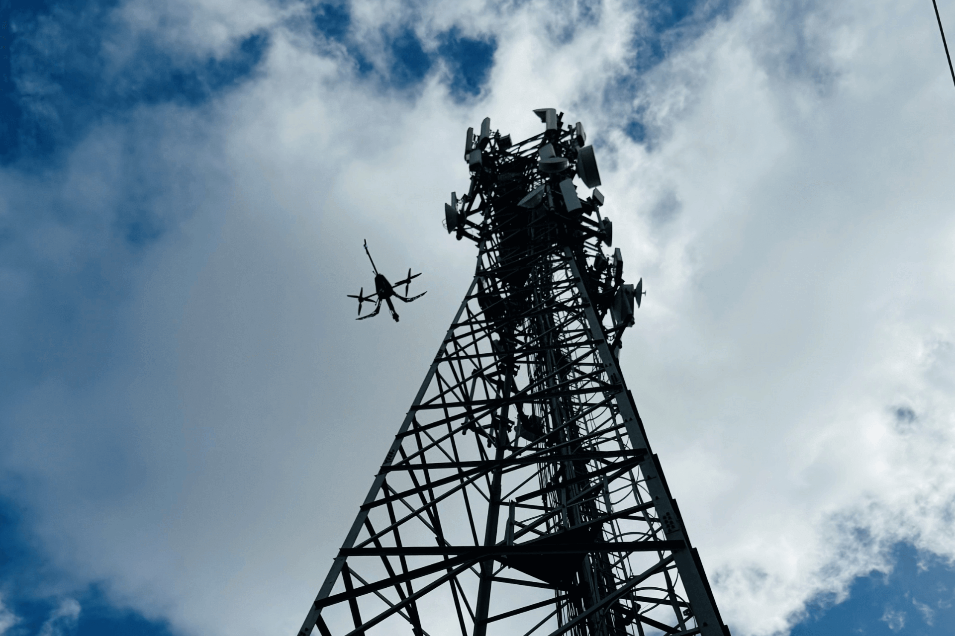
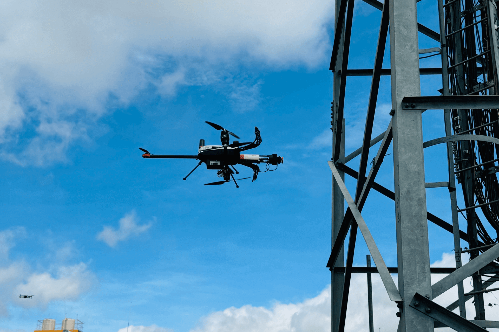
For infrastructure inspections, our drones are used to inspect bridges, power lines, cell towers, and other critical assets. This type of analysis is safer, faster and more cost-effective than conventional methods, providing real-time insights to ensure system integrity and reduce downtime.
© Copyright 2024 Designed By Digisnare Technologies.