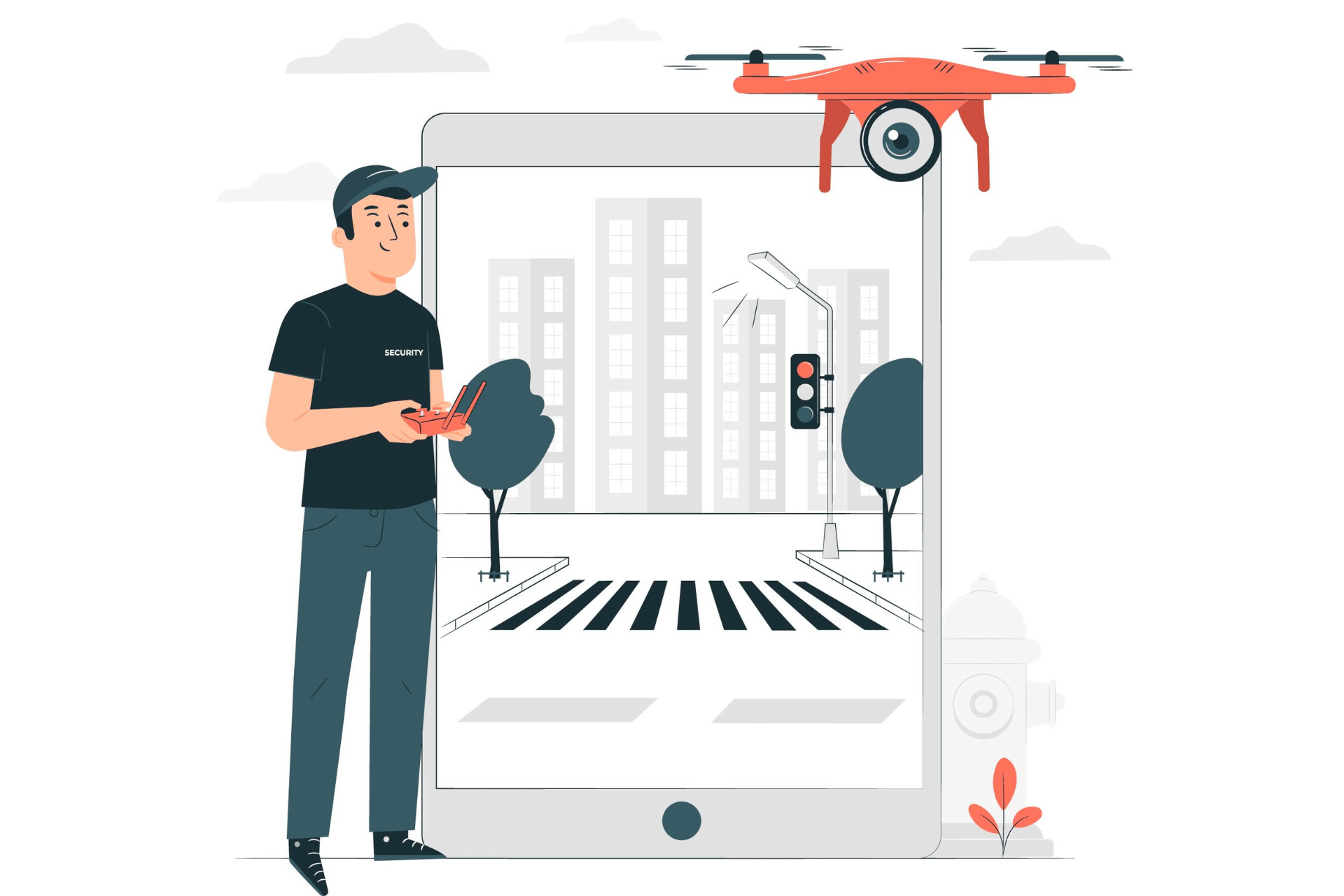
We offer comprehensive solutions for GIS surveying and mapping, utilizing advanced drone technology to collect precise geospatial data for a wide range of applications. Our drones, equipped with Lidar, DGNSS, and high-resolution cameras, enable accurate topographical surveys, land mapping, and 3D modeling of both urban and rural landscapes.
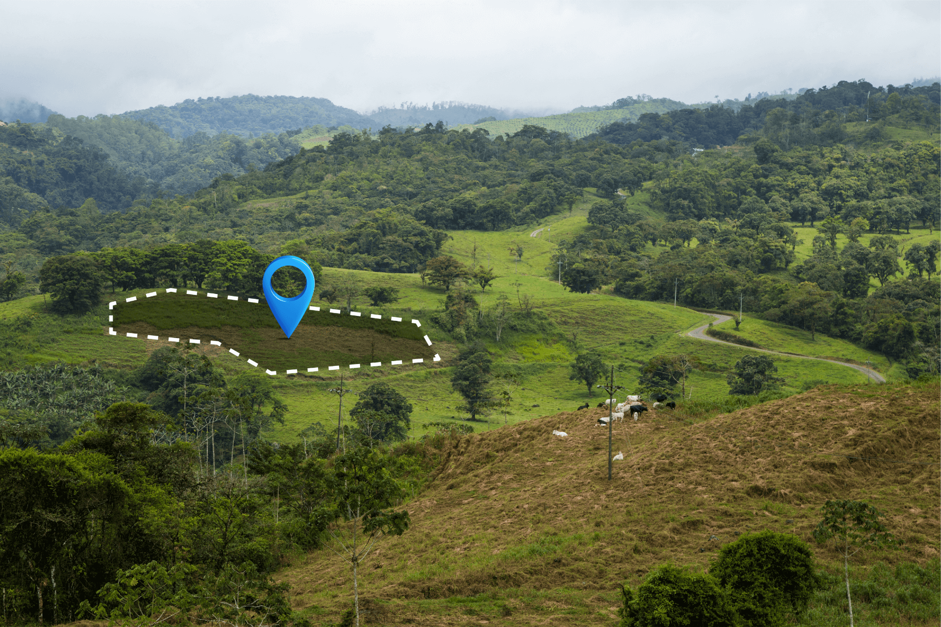
Our GIS solutions are ideal for industries such as agriculture, construction, urban planning, and environmental monitoring, providing detailed insights that support better decision-making and project management. With Piefly’s drone technology, clients can capture vast amounts of data quickly, efficiently, and with greater accuracy than traditional surveying methods.
© Copyright 2024 Designed By Digisnare Technologies.